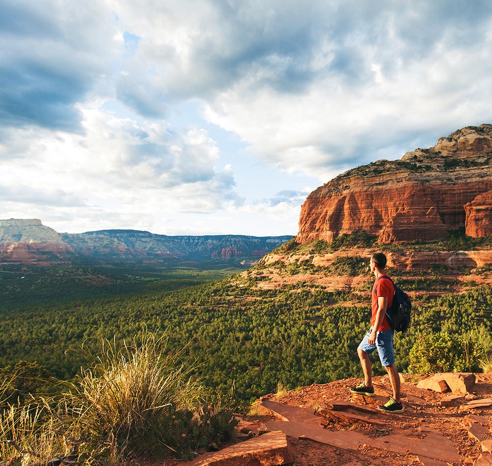
Hiking in Sedona
There is no place like Sedona with hiking trails that are are arguably, some of the most beautiful in the world. Within the hundreds of miles of trails that surround Sedona, you’re sure to find the perfect hike. Get a comfortable night’s rest at the Andante, wake up with our complimentary breakfast and get exploring! We’ve made it even easier by sorting some of our favorites by difficulty level, and adding these important desert hiking tips.
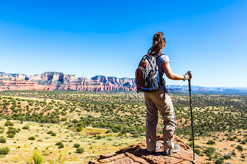
High Desert Hiking Tips:
- Wear a hat
- Wear hiking boots or good walking shoes
- In your pack, carry: first aid kit, map, compass, flashlight, pocket knife, toilet paper and plastic bag, rescue whistle, extra food
- HIKERS MUST CARRY WATER. One gallan per person per day is recommended. Dehydration is one of the biggest dangers of hiking in Sedona’s red rock country. Bring trail mix or snacks, even for sort hikes.
- Use toilets before starting your hike. If nature calls, leave no trace!
- Check the weather before you leave.
- Tell someone where you are going. Hike with a friend.
Easy Hiking Trails
Bell Rock Pathway (3.5 miles one way)
Smooth, wide trail open to bicycles and hikers that parallels Hwy 179. Two trailheads, milepost 309.4 (Little Horse Trailhead) and 307.5 (Bell Rock Vista Trailhead).
Margs Draw (1.7 miles one way)
Easy access to Munds Mountain Wilderness. Trailhead on Sombart Lane, off Hwy 179.
Baldwin / Templeton / Cathedral Rock (2 miles one way)
Views of Cathedral Rock and Wilson Mountain and access to Oak Creek. Trail starts at end of Verde Valley School Road. Red Rock State Park (various distances). Smooth, wide trails that wind along Oak Creek. Open to bicycles and hikers. Some links to adjacent National Forest. State Park is located off of Red Rock Loop Road. $6.00 per car. Open year round.
Carruth and Sunset Trails (loops up to 2 miles).
Gently rolling trail in pinyon pine forest with great views and native plan identification signs. Open to bicycles and hikers. Accessed from West Sedona School on Posse Grounds Road. On City property.
Sedona Centennial Trail (1/3 mile one way)
Smooth wide trail through pinyon forest that leads to scenic vista. Views of Mingus Mountain, Red Rock Secret Canyon Wilderness and Sedona. Open to pedestrians only. Starts at the Sedona Cultural Park trailhead ramada, West Sedona.
Jim Thompson Trail (2.4 miles one way)
An historic route with views of Sedona and Oak Creek. Access from the end of Jordan Road in Uptown Sedona.
Moderate Hiking Trails
Jordan Trail (2 mile loop)
See spectacular red rock views from this trail. Starts at Jordan Road trailhead and connects with Soldier Pass area and Devil’s Kitchen sinkhole. Trail climbs 200 feet.
Courthouse Butte Loop (4.2 miles one way)
Gentle 250-foot climb circles Bell Rock and Courthouse Butte, dips into wilderness area, dry wash, slick rock and climbs out to level ground. Starts and ends at kiosk at Bell Rock Pathway on Hwy 179.
Schuerman Mountain Trail (1 mile one way)
Trail climbs gently to base of the low mountain, then steeper climb to panoramic views. Allow two hours roundtrip for this hike. Trailhead on Upper Red Rock Loop Road past the high school.
Huckaby (2.9 miles one way)
Overlooking Sedona and access to Oak Creek. This trail begins at Midgely Bridge or Schnebly Hill Road trailhead.
Brins Mesa (3.2 miles one way)
This part wilderness trail climbs 600 feet to a mesa with fantastic views of Sedona and the red rocks to the north. This trail is open to horses and hikers. Access from the end of Jordan Road in Uptown Sedona, this trail links with Soldier’s Pass Trail to make a loop.
Turkey Creek (3.4 miles one way)
Trail climbs 600 feet along the dry Turkey Creek, past Turkey Creek Tank and onto House Mountain. There are spectacular views in this secluded, diverse area. Trail open to horses, mountain bikes and hikers. Access from Verde Valley School Road and Turkey Creek Road.
Munds Wagon (4 miles one way)
Trail climbs gradually to 1400 feet paralleling Bear Wallow Canyon and Schnebly Hill Road. Trail passes by large slick rock areas, cypress and cottonwood trees, and portions of the historic Munds Wagon Trail, the first road linking Sedona and Flagstaff. Munds Wagon Trail is open to horses, mountain bikes and hikers. Park at the Schnebly Hill Road where the pavement ends.
Difficult Hiking Trails
Wilson Mountain (5.2 miles one way)
This trail climbs 2,300 feet. It’s an all-day climb that joins Wilson Mountain Trail with North Wilson Trail. The trails starts at Midgely Bridge on North 89A. You’ll see great views at all elevations.
Bear Mountain (2.8 miles one way)
This trail climbs 1,800 feet and offers spectacular views at all elevations. Take Boynton Pass Road 1.6 miles to FR 152C on the left. The trailhead can be accessed 1.2 miles on the right.
Hot Loop Trail (9.8 miles one way)
This trail climbs up to Horse Mesa with great views of Bell Rock and Courthouse Butte. Trailhead can be accessed off Jacks Canyon Road.
For our top hiking picks, check our Local Guide!